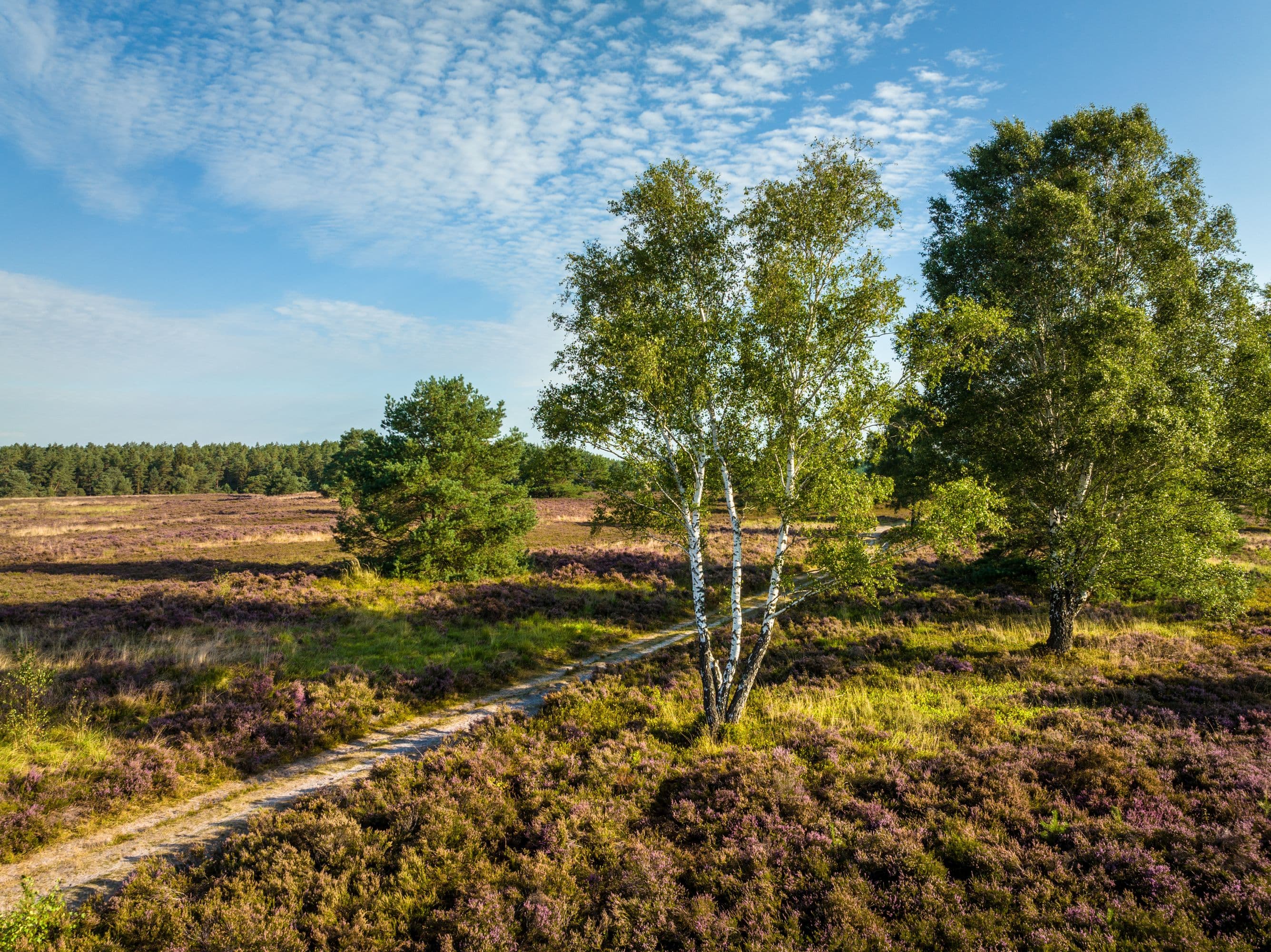
Hanstedt: Toeps Heath
Hanstedt
You can find the perfect idyllic location for
your holiday on Lueneburg Heath in Hanstedt on the heath plateau situated around 2
km south-west of the town centre.
The German name “Auf dem Töps” (literally “On the Top”) indicates that the area
in question is a plateau that lies approximately 100 metres above sea level.
That is quite a height for Lueneburg Heath, considering that Wilseder Berg, the
highest point in the North German lowlands, is just 162 metres high. The
“altitude” affords fantastic panoramic views.
Eroded channels, some of which are
quite deep, are visible at the edge of the plateau and contribute to the
formation of a diversified heath landscape.
The heath plateau belongs to the
Lueneburg Heath nature reserve. This differently structured heath landscape
also features a sheep pen and bee stands and offers the beholder scenic views
that are typical of the heath and popular photo motifs.
Moorland sheep sometimes graze on Toeps Heath during the heather bloom from the
beginning of August to mid-September.
On clear days you can see as far as Hamburg in the north.
Travel directions:
Parking: there is a large car park at Weseler Weg
Note: free public parking (the distance from car park to the heath is 750
metres. Follow the direction of the field path.)
Address: Weseler Weg, 21271 Hanstedt
Travel tip: If you are coming from the direction of Hamburg and
Hanover on the A7, take exit Garlstorf and drive through Nindorf (Wildpark
Lueneburg Heath) to Hanstedt. Drive through the town towards Buchholz i. d.
Nordheide. As soon as you leave the town, turn left into Weseler Weg. You will
find an information sign saying "Töps Heide". Follow the road for
approximately 1 km to the car park on the right.