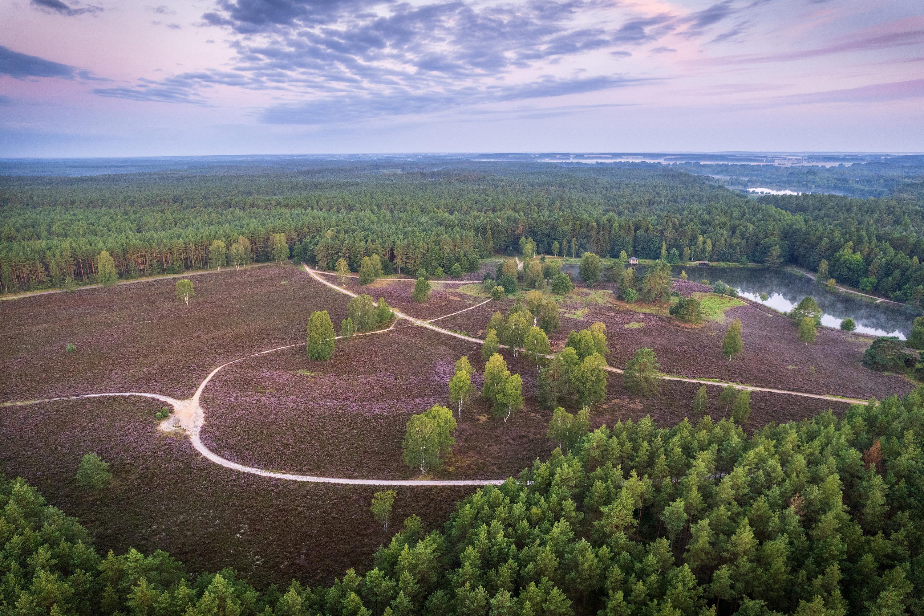


Course of the circular hiking trail
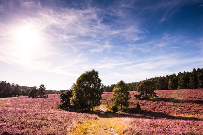
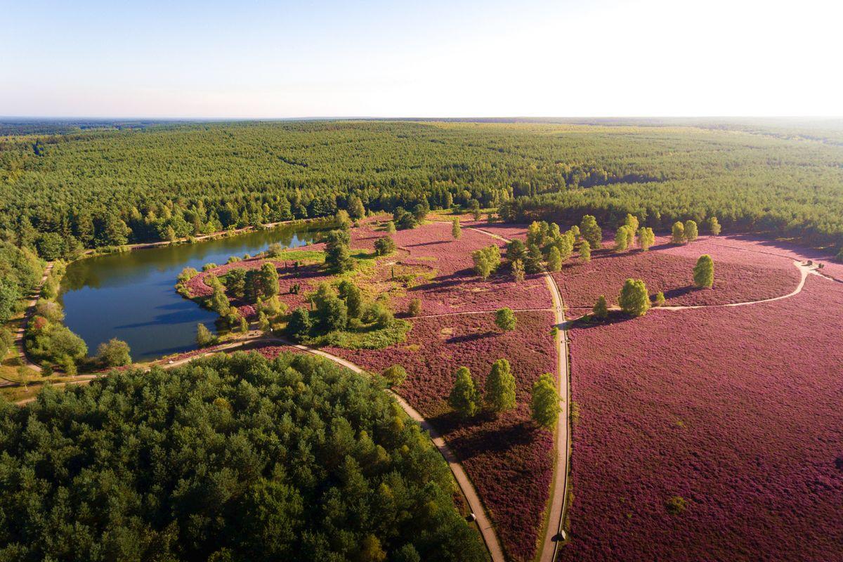
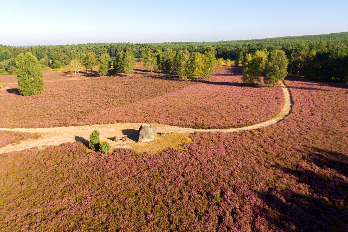
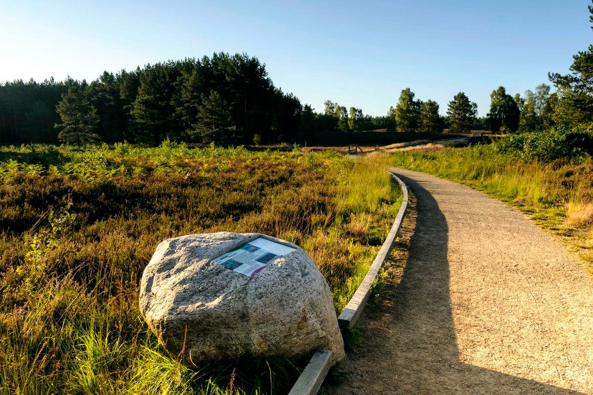
The middle tour of the circular hiking trail W11 leads with 8,9km first along the short tour and then to the east to a clearing with heather. We continue to the forest area "Vor dem Hassel" and on the state road 281.
The path continues towards the northwest and soon passes through a valley between two higher hills. The hiking car park "Am Eicksberg" with a view of the wide heath areas of the Misselhorner Heide and the Tiefental valley invites you to take a break before passing through a forest area. Numerous pits are hidden here, testifying to the blasting of ammunition remnants after the Second World War.
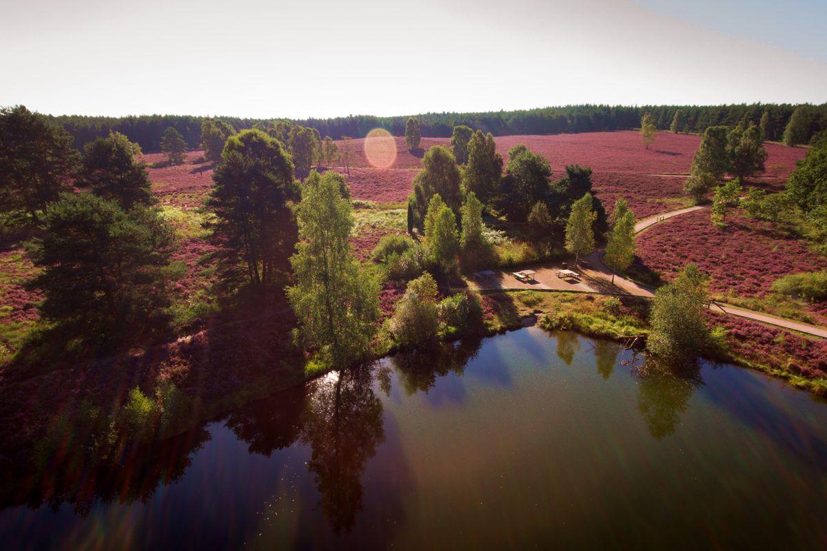
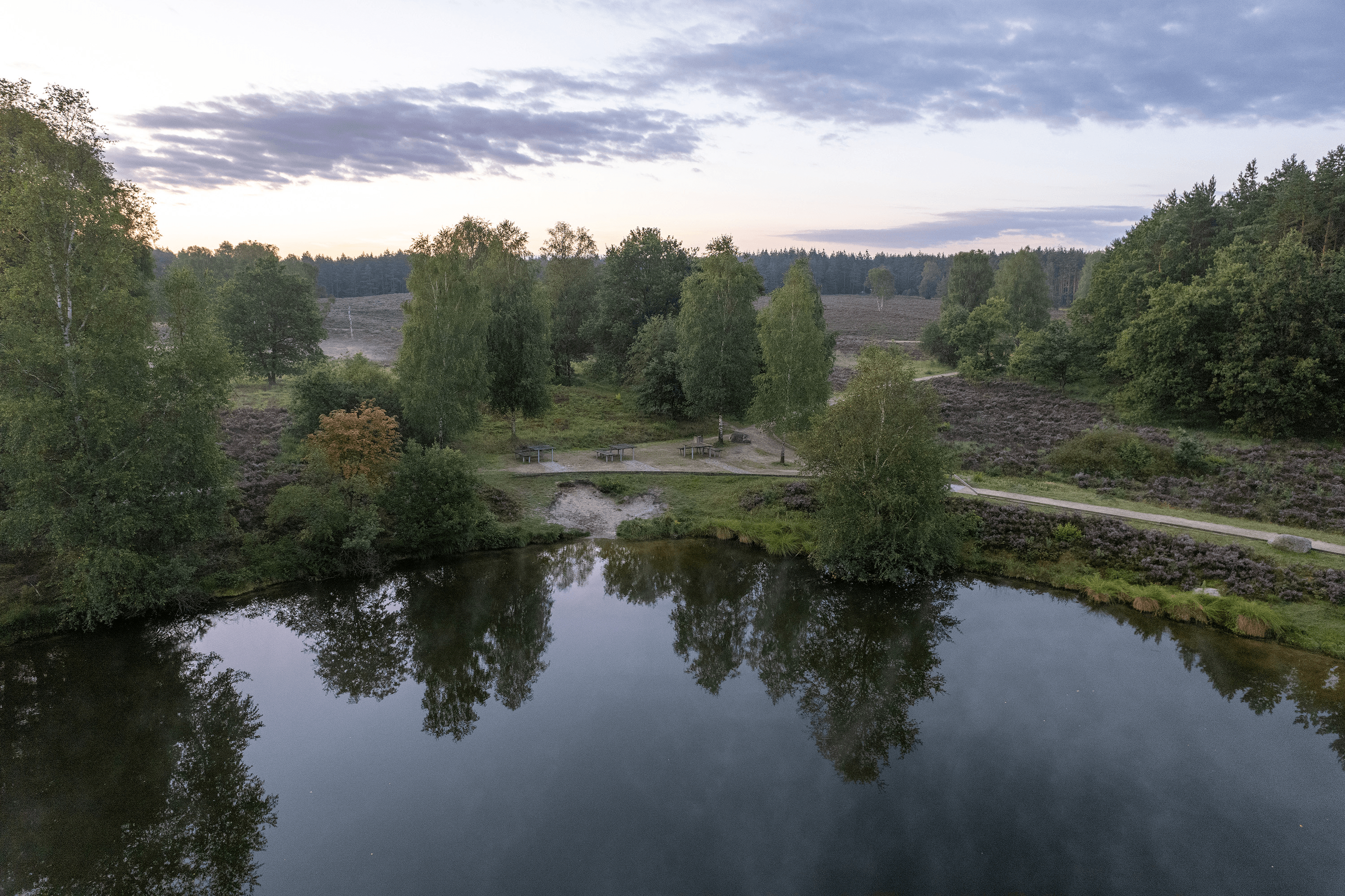
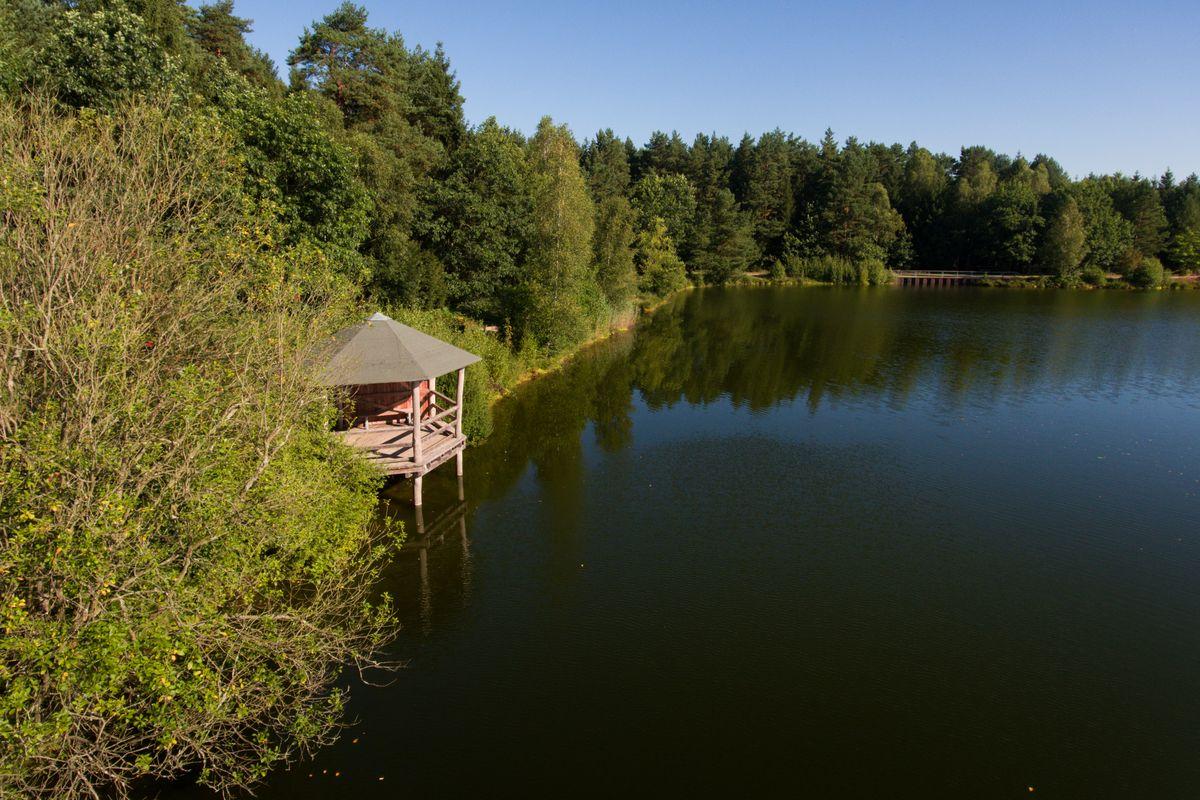
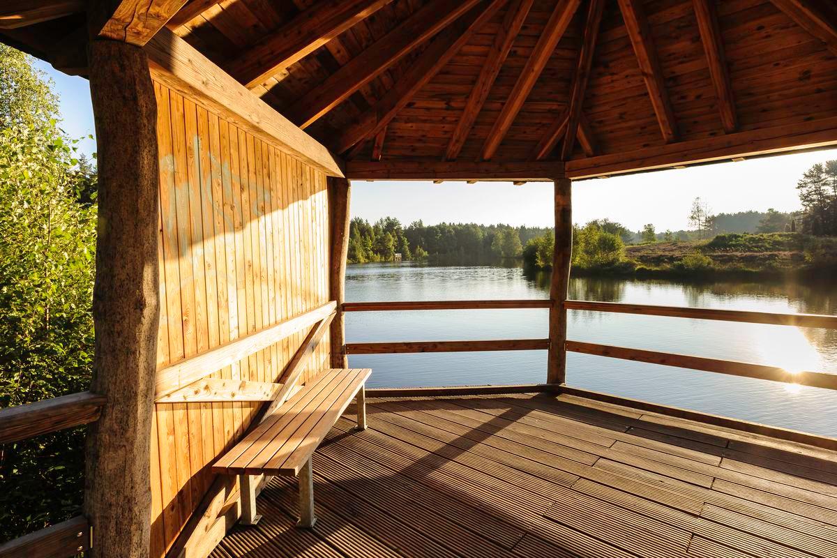
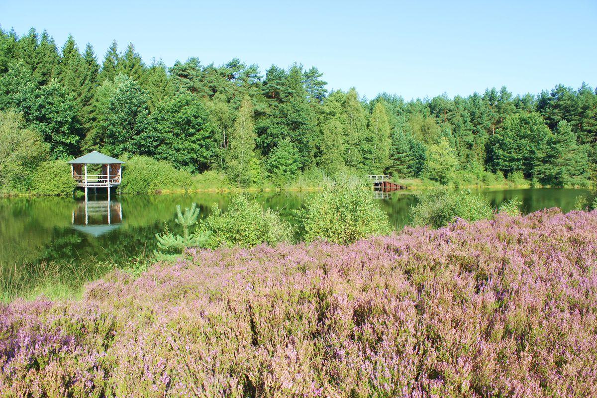
At a refuge, the path turns left and continues along the Angelbecksbusch forest area along road 281. Shortly afterwards, it crosses the Angelbach river, which leaves the Angelbecksteich pond to the east, before returning to the starting point.
Die mittlere Tour ist neben dem abgebildeten Piktogramm mit einem mittelgroßen gelben Kreis gekennzeichnet.
Route Profile
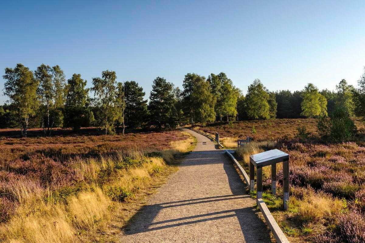
The hike leads along extensive heath areas and extensive forests on partly narrow sandy paths.
Point of Departure
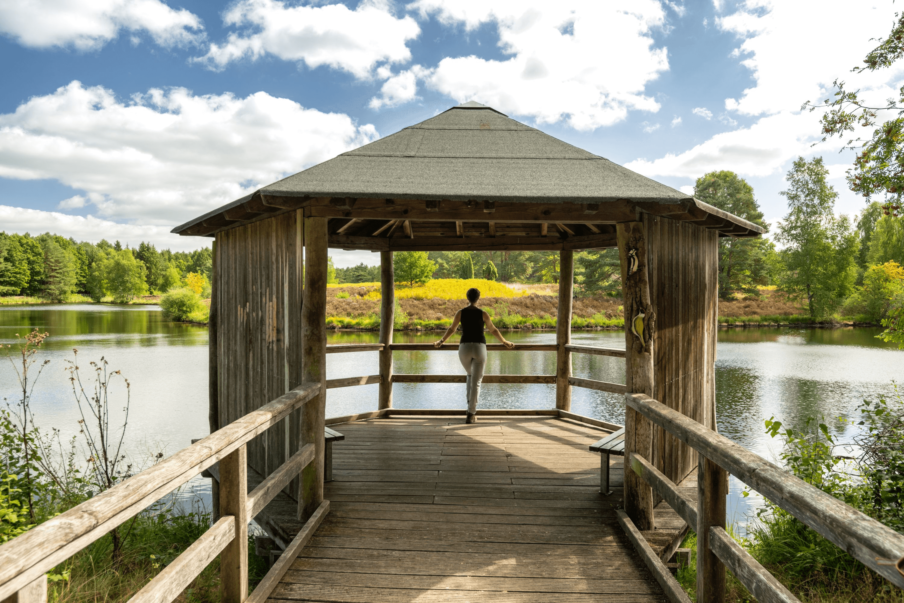
Three hiking tours of different lengths are offered from the "Angelbecks Teich" hiking car park.
Directions to the car park "Angelbecks Teich"
The car park at Angelbecks Teich can be reached via L 281
from Oldendorf in the direction of Eschede. After approx. 3 km from Oldendorf
from there turn right in the direction of Dehningshof/Hof Severloh. After
After another 200 m, the path turns left onto the parking lot.
Position: N 52° 47.31040', E 010° 07.55486', N 52° 47.31040
Further information and tips on the tours of the hiking paradise Südheide can also be found at Region Celle Navigator.