
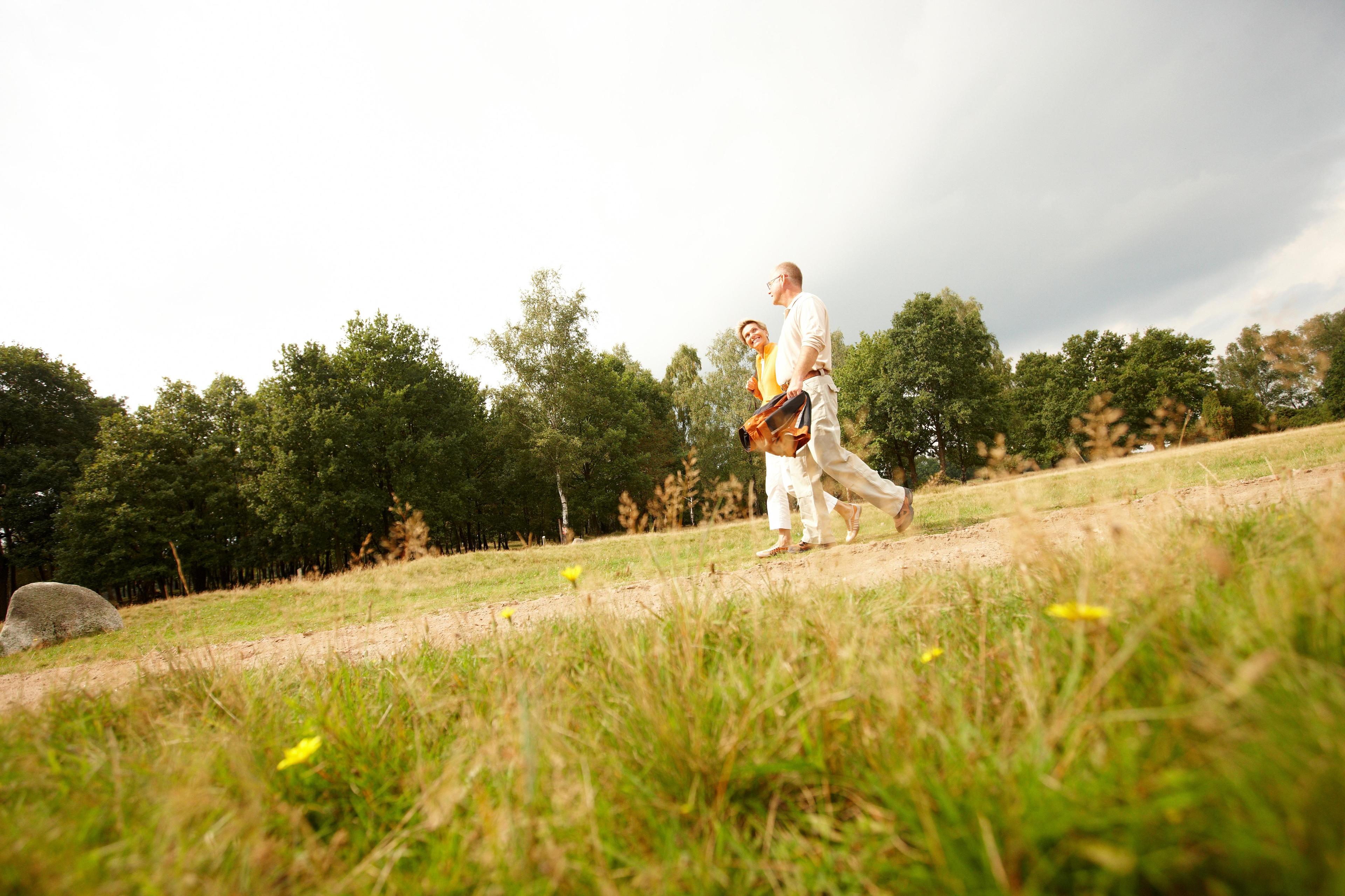
Scenic day trip through villages, open field,s and forest areas with wonderful views and interesting archaeological features.
This varied walking tour shows the scenic and cultural beauties of Buchholz and the surrounding area.
On your walk you will encounter Klecker Forest, the small villages of Buensen and Itzenbüttel, an agricultural landscape and the wooded Königsgrund.
etween Dibbersen and Steinbeck the otherwise mostly flat path is a bit hilly. From Nuppenberg you have a wonderful view of the surrounding countryside. From the lofty heights you also benefit from a view to Dibbersen windmill.
Length:
23 km (can be cut to 12 and 15 km)
Route:
Buchholz station – Am langen Sal – Itzenbüttel – Kleckerwald – Dat ole Fösterhuus – Buensen – Königsgrund – Kirchweg – Alte Dorfstraße – Bürgermeister-Becker-Straße/Emser Straße – Zur Alten Mühle – Mühle Dibbersen – Am Habenberg – Sonnenkamp – Postweg – Alter Postweg – Dangersener Weg – Steinbeck/Steinbecker Straße – Eichholzstraße – Steinbecker Mühlenweg – Stadtpark/In den Bergen – Königsberger Straße – Bremer Straße – Breite Straße – Poststraße – Buchholz station
Attractions:
Farmstead and three-stage barn in Itzenbüttel, Burial mound in Klecker Forest, forester's house "Dat ole Fösterhuus", resting place for reindeer hunters and stone grave at Buensen, historic centre of Buensen, Dibbersen windmill
Side trip: Small megalithic tomb and kettle hole in Klecker Forest
Path quality:
Mostly well-paved or asphalt paths
Sign Posting:
Route is fully signposted/marked
Food and drink:
Buchholz: various eateries
Dibbersen: Hotel-Restaurant Frommann
Itzenbüttel: Hotel Landhaus Zum Grünen Jäger
Train and bus:
Buchholz train station
Regionalpark-Shuttle: (Ring 2) Buchholz / ZOB, Dibbersen / Harburger Straße
Überwiegend gut begehbare befestigte oder asphaltierte Wege
Additional marking of the footpaths in Rosengarten Regional Park
"Getting walkers to their destination on time" – The footpath network in Rosengarten Regional Park was supplemented in the context of quality control of recreational routes in spring 2014 with additional markings on the intermediate direction signs. This year the markings will be added to even more places.
What does the new label look like?
The new markings are yellow arrow stickers with black borders. In the arrows, the abbreviation of the route is also visible.
When will all the walking routes be provided with the additional markings?
The new markings are throughout the Hamburg part of the Regional Park nationwide and since May 2014 in the Lower Saxony part of the Regional Park.